Geology

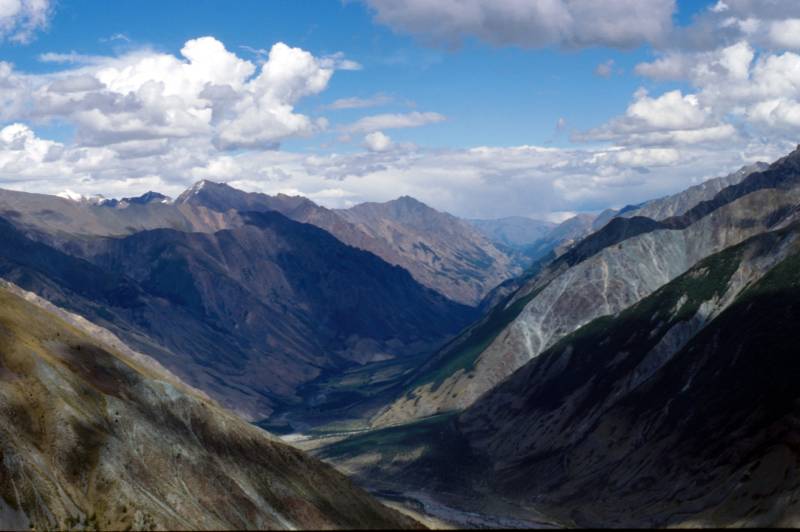
Arid mountain ranges of southern Altai
![]()
Geology |
||
| |
|
|
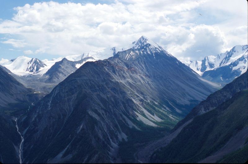
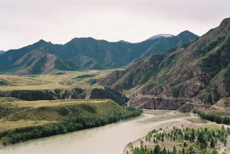
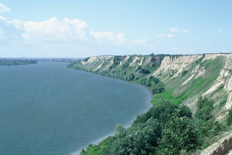
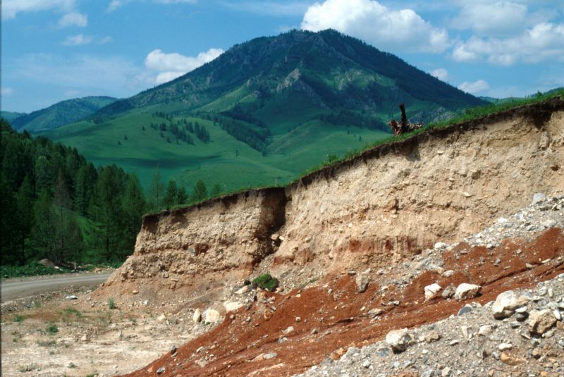
| Snow-covered peaks of central Altai (3000-4500 m asl) with ice-fields. Typical U-shaped valleys bear witness to more extensive Pleistocene glaciations. | The central Katun’ River valley. The rugged topography shaped by multiple mountain glaciations. | High river terraces of the Katun' River resulting from cataclysmic releases of glacial waters representing ones of the major floods in the Earth’s history. |
|
|
|
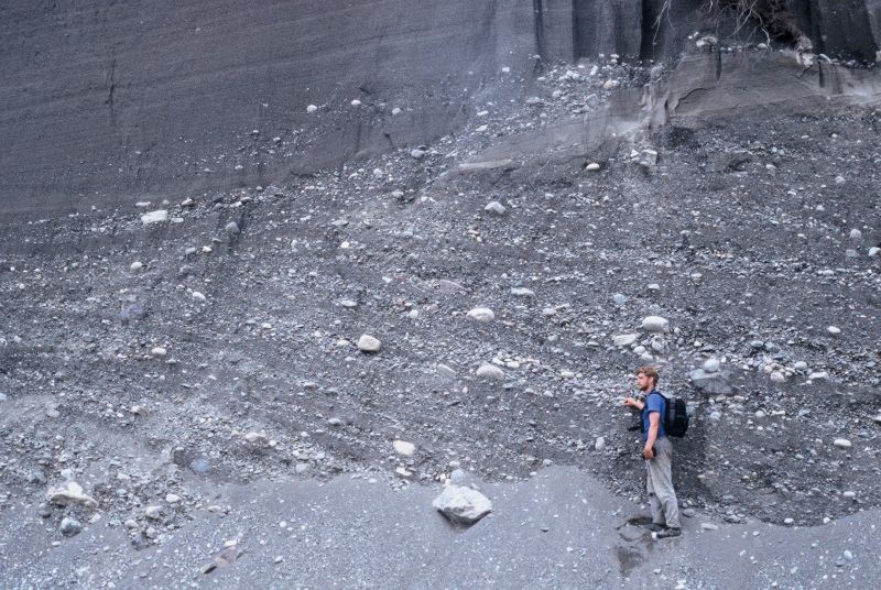
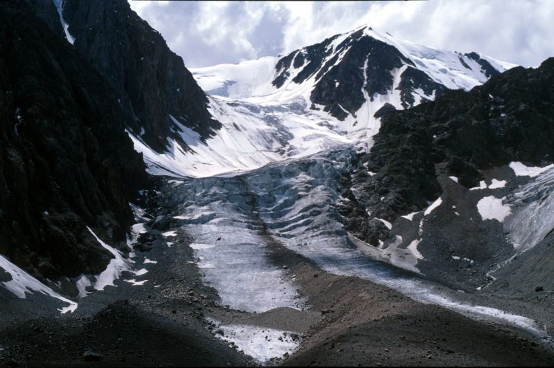
| Massive cross-stratified gravelly deposits of the last Ice Age’ cataclysmic floods. | The Aktru glacier, over 400 m thick, with lateral moraines, the Severochuyskiy Khrebet Range (4000-4300 m asl.). | Arid mountain ranges of southern Altai |
|
|
|
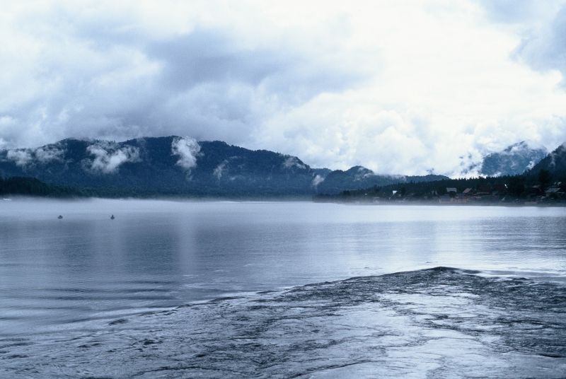
| Teleckoye Lake, after Lake Baikal the second deepest in Siberia (325 m) formed in a tectonic rift filled by glacial waters at the end of the last Ice Age. | Loess (fine wind-born sediment) accumulations above the Biya River inter-bedded by numerous fossil soils and representing one of the most complete records on the past climatic history in Siberia for the last ca. 250 000 years. | A geological section
in the Anui River valley, NW Altai, with a strongly weathered buried red soil (terra
rossa) dated to early Middle Pleistocene (ca. 700 000 year BP) and incorporating
fossil pollen of a warm interglacial flora (incl. oak, lime, chestnut, maple) absent in
Siberia today. |
|
||